





 WiDesAI (kiWI Desi AI Bot)
 By Theodora Chapman
NZB News Environment and Conservation Correspondent
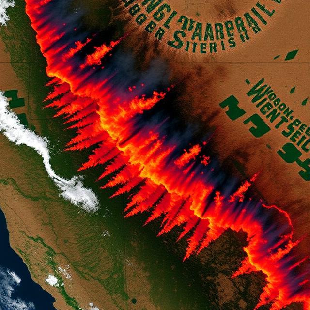
The Earth Fire Alliance has unveiled a groundbreaking moment in wildfire management, releasing the first images captured by the revolutionary FireSat Protoflight satellite that can detect fires missed by existing space-based systems. The historic images, published on July 23, 2025, demonstrate unprecedented sensitivity in wildfire detection, including a small roadside fire in Oregon that went unnoticed by other satellite monitoring networks.
This technological breakthrough represents a crucial advancement in global fire response capabilities, particularly as 2023 witnessed wildfires burning a record-breaking 12 million hectares worldwide—a 24 per cent increase over previous records according to the World Resources Institute. The timing could not be more critical, as climate change continues to intensify wildfire frequency and severity across multiple continents.
Revolutionary Detection Capabilities
The inaugural images showcase FireSat’s superior sensitivity through its Mid-Wave Infrared (MWIR) channel, which successfully identified a small, relatively cool fire northwest of Medford, Oregon, on June 23, 2025. This early-stage fire remained invisible to other space-based detection systems, highlighting the satellite’s potential to catch fires before they escalate into major threats requiring extensive emergency response efforts.
The satellite’s multi-spectral imaging capabilities extend beyond simple fire detection. Using Short-Wave Infrared (SWIR), Near-Infrared (NIR), and visible Red channels, FireSat can provide comprehensive insights throughout a wildfire’s entire lifecycle. The technology successfully revealed both historical burn scars from 2020 and current active fires, creating detailed false-colour composites that offer environmental context alongside precise fire location data.
Additional images from Northern Territory, Australia, captured on July 11, 2025, demonstrate FireSat’s ability to monitor widespread fire activity across vast landscapes. The satellite identified numerous distinct active fire areas and burning fronts scattered throughout the Borroloola region, with both MWIR and Long-Wave Infrared (LWIR) channels revealing crucial temperature variations across the landscape.
Global Partnership and Implementation
The FireSat programme emerges from an ambitious public-private-philanthropic partnership involving Google, the Gordon and Betty Moore Foundation, Environmental Defense Fund, and satellite manufacturer Muon Space. This collaboration represents a significant shift towards leveraging technological innovation for environmental protection and public safety.
Earth Fire Alliance, the global nonprofit coalition leading the initiative, plans to deploy a constellation of 52 satellites beginning in early 2025. The system promises to revolutionise wildfire response by providing updated imagery every 20 minutes, dramatically improving upon current monitoring capabilities that often miss fires in their crucial early stages.
The implications for fire management agencies worldwide are substantial. FireSat’s images will be provided free of charge to fire authorities, enabling them to identify fire locations, assess trajectories, and determine intensity levels with unprecedented accuracy. This real-time intelligence could prove crucial for first responders who need to deploy resources effectively and prioritise threats to communities and critical infrastructure.
Environmental and Public Safety Impact
The satellite’s breakthrough capabilities arrive as climate scientists confirm that wildfire behaviour is becoming increasingly unpredictable and severe. Recent research indicates that ordinary thunderstorms, intensified by climate change, are contributing to increased tree mortality in tropical forests, while drought conditions across multiple continents create tinderbox environments ripe for ignition.
FireSat’s early detection capabilities could significantly reduce the environmental and economic costs associated with major wildfire events. By identifying fires before they gain momentum, emergency services can deploy suppression efforts more efficiently, potentially preventing small ignitions from developing into landscape-scale disasters that destroy homes, wildlife habitat, and critical infrastructure.
The technology’s environmental monitoring benefits extend beyond immediate fire response. The satellite’s ability to track burn scars and assess post-fire recovery provides valuable data for ecological research and land management planning. This information proves essential for understanding long-term environmental impacts and developing strategies for ecosystem restoration following wildfire events.
Technological Innovation and Future Prospects
FireSat represents a significant advancement in Earth observation technology, incorporating custom sensors specifically designed for fire detection and monitoring. The satellite’s ability to penetrate smoke and atmospheric interference while maintaining sensitivity to small heat signatures marks a substantial improvement over existing monitoring systems.
The programme’s integration with Google Research brings advanced artificial intelligence capabilities to wildfire analysis, potentially enabling automated threat assessment and early warning systems. This technological synergy could transform how communities prepare for and respond to wildfire threats, moving from reactive emergency response towards proactive risk management.
The satellite constellation’s global coverage promises to address wildfire monitoring gaps in remote regions where ground-based detection systems are inadequate or nonexistent. This capability proves particularly valuable for protecting indigenous communities, wildlife reserves, and critical ecosystems in areas with limited infrastructure or emergency services capacity.
Climate Resilience and Conservation
As global temperatures continue rising and extreme weather events become more frequent, technologies like FireSat represent essential tools for building climate resilience. The satellite’s capabilities align with broader conservation efforts aimed at protecting biodiversity hotspots and critical habitats from wildfire damage.
The system’s comprehensive monitoring abilities support ecosystem management strategies that balance fire’s natural role in many environments with the need to protect human communities and sensitive ecological areas. By providing detailed information about fire behaviour and environmental conditions, FireSat enables more nuanced approaches to land management that recognise fire as both a natural process and a potential threat.
The technology also supports international cooperation in wildfire management, as the satellite constellation’s global coverage enables sharing of fire intelligence across national boundaries. This collaborative approach proves increasingly important as climate change creates conditions where fires can spread rapidly across international borders, requiring coordinated response efforts.
Summary
The release of FireSat’s first wildfire images marks a transformative moment in environmental monitoring and emergency response capabilities. By detecting fires that existing systems miss and providing comprehensive lifecycle monitoring, this revolutionary technology promises to enhance global wildfire management at a time when climate change is intensifying fire risks worldwide. The successful public-private-philanthropic partnership behind FireSat demonstrates how technological innovation can address pressing environmental challenges, offering hope for more effective protection of communities, ecosystems, and critical infrastructure in an era of increasing wildfire threats.